Struffeltroute


- 3:00 h
- 9.70 km
- 206 m
- 206 m
- 361 m
- 456 m
- 95 m
- Start: Parking Filterwerk, 52159 Roetgen
- Destination: Parking Filterwerk, 52159 Roetgen
The dramatic barren outcrop of Struffeltkopf lends its name to this varied hike between Rott and Roetgen. The route passes through a variety of landscapes around the Dreilägerbach dam and through the Struffelt conservation area with its upland moors, a home and habitat to many different species. Keen hikers will be rewarded along the way with stunning views and spectacular flora and fauna. Keep your eyes open: Along the route you’ll spot plenty of the fountain grass that’s typically found throughout Struffelt: a distinctive sight with its long stalks and fluffy ears.

Good to know
Best to visit
suitable
Depends on weather
Author
Eifel Tourismus GmbH
License (master data)
Eifel Tourismus GmbH

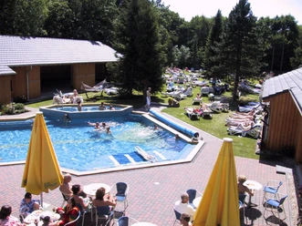
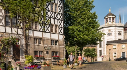
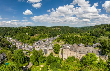
Nearby