Inderoute


- 2:30 h
- 6.20 km
- 182 m
- 139 m
- 203 m
- 265 m
- 62 m
- Start: 52076 Aachen-Brand
- Destination: 52076 Kornelimünster
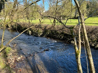
The hiking route passes through the broad Inde valley from Aachen-Brand to Kornelimünster. Thanks to the meanders and side channels, the clear water of the river Inde is home to a large number of fish as it winds through the watermeadows with individual groups of trees. First, the trail crosses open meadows with a panoramic view onto the summits of the Eifel to Komericher Mühle spinning mill (16th century), and on to the restored Bilstermühle lime kiln (1870) with a geological outcrop. The second section of the route leads through the Klauser- and Frankenwald forest, a calcareous ravine forest with bizarre rock formations, past the chapel (a former hermitage from the 17th century).
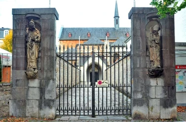
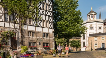
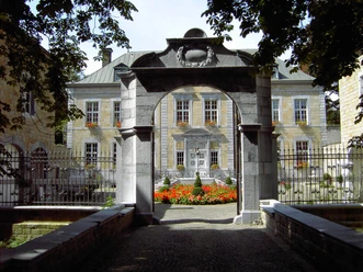
Finally, the path follows the meanders of the Inde downstream to the former imperial abbey (814 - 1804), today a museum for “Art from NRW”, through to the medieval town centre of Kornelimünster at the starting point of the Eifelsteig.

Good to know
Best to visit
Author
Eifel Tourismus GmbH
License (master data)
Eifel Tourismus GmbH

Nearby